
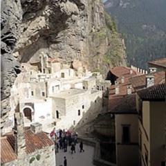
Extreme northeastern Turkey is a land of steep, rocky mountains. The Kaçkars are the northeasternmost range, their slopes plummeting into the Black Sea.
In the steep, fertile valleys, farmers in villages and small towns make a precarious living from their fruit (especially apricot) and nut (especially walnut) orchards, mountain fields and pastures.
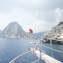
In the 1970s an American named Richard Bangs arrived in the Kaçkars intent on rafting down the treacherous Çoruh River which thunders along the steep valley on the southeastern side of the Kaçkars, with Class 6 rapids in some places. He did it, then began bringing groups through his company, Sobek Expeditions, to do it with him.
Thus was white-water river rafting born in the Kaçkars.
Today people come to the mountains to shoot the rapidsalong the Çoruh, to visit the interesting old Georgian churches left from when the population here was mostly Christian Caucasians, to trek in the mountains, or simply to drive through the valleys and enjoy the dramatic scenery.
Yusufeli, 130 km (81 miles) north of Erzurum, right in the midst of the best trekking and rafting country, is the favored base. A more pleasant town than the nearby provincial capital of Artvin, Yusufeli is right across the summits from Ayder on the Black Sea slope.
—by Tom Brosnahan
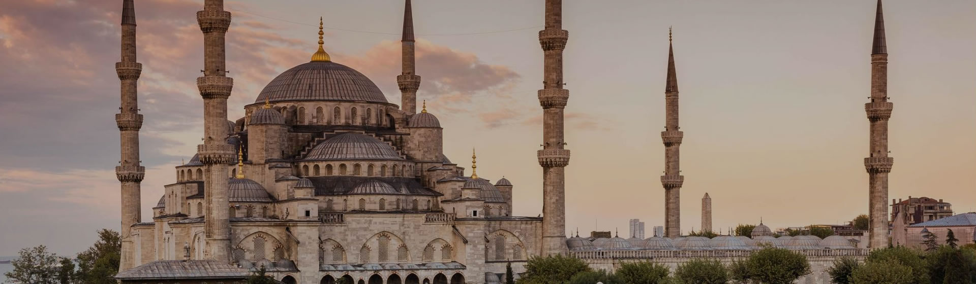
| Artvin |

 Best Travel Agencies