
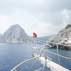
Turkey is encircled by seas on three sides: the Aegean Sea to the west, the Black Sea to the north, and the Mediterranean Sea to the south. The Bosphorus and the Dardanelles (which form the Turkish Straits) mark the boundary between Europe and Asia.
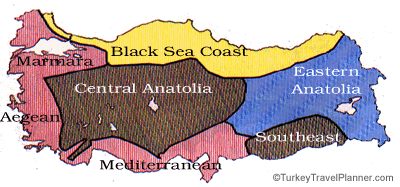
Regions of Turkey
Turkey has seven distinct geographic weather and climatic regions. You can get current weather forecasts from the Turkish State Meteorological Service in English. Click on each region to learn more about its cities and sights.
Marmara
The countryside around Istanbul, Edirne, Bursa and the Sea of Marmara is low hills and rolling farmland excellent for fruit orchards (apricots, grapes, peaches) as well as vegetables, sunflowers and grain.
South of Bursa are higher mountains (2500+ meters/8200 feet).
Rainfall averages 668 mm/26 inches per year; temperatures range from a low of -16C/3F in the depths of winter to 40C/104F on the hottest day in summer. It's quite humid (average 73%).
Aegean
The Aegean region centered on İzmir is a true breadbasket, with low hills and higher mountains framing fertile valleys full of rich alluvial soil. The dependable summer sun produces bumper crops of tobacco, sunflowers, olives, figs, peaches, pears and apples.
Rainfall averages 645 mm/25 inches per year; temperatures range from -8C/18F to 43C/109F, with average humidity of 69%.
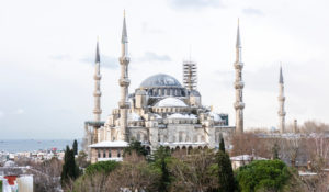
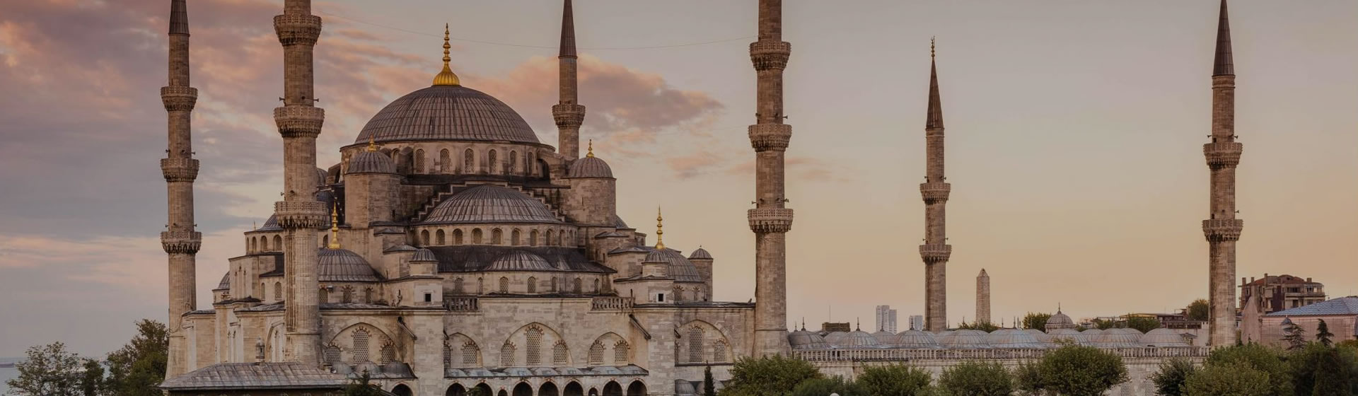
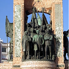
Sultanahmet Square in Istanbul, Turkey.

Clock Tower in İzmir, Turkey.
Mediterranean
Turkey's southern shore is hemmed in by high mountain ranges. There's some beach from Fethiye to Antalya, but east of Antalya the littoral broadens into the fertile Pamphylian plain (which is where you find Side) fringed with white sand beach.
Not far east of Alanya the mountains come down to the sea again, all the way east to Antakya, keeping this coast very hot and humid in summer: maximum 45C/113F, minimum -5C/23F; rainfall is 777 mm/31 inches.
Central Anatolia
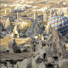
The center of Turkey is high plateau (elevation 900m/3000 feet at Ankara) of rolling steppe framed by mountain ranges, some of which boast snow-capped dormant volcanoes. (It was the volcanic Mt Erciyes near Kayseri that formed the Central Anatolian moonscape of Cappadocia.)
The land produces summer and winter wheat and other crops, and feeds millions of grazing sheep. Temperatures range from -25C/-13F to 40C/104F, with rainfall of only 382 mm/15 inches per year. The average humidity is 62%.
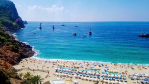
Beach View in Antalya, Turkey.

City view of Ankara, Turkey
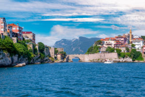
Black Sea Coast
Turkey's Black Sea coast, 1700 km/1000 miles long, is surprisingly lush and green because of its 781 mm/31 inches of annual rainfall dropped as the winds crossing the Black Sea rise to vault the coastal mountains.
It's cloudy much of the time, which seems to suit the tobacco fields. Cherries originated here, and are still grown in abundance, as are hazelnuts (filberts), of which Turkey supplies half the world's requirements.
The lush grass feeds cattle which produce Turkey's best milk, cream and butter. The humid coast east of Trabzon is perfect for growing tea bushes. In the steep evergreen-choked valleys above, you might think you're in Central Europe, though warmer.
Temperatures range from -8C/18F to 40C/104F, with an average humidity of 72%.
Kemere Bridge in Amasra, Turkey.
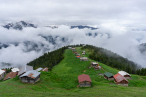
Pokut Plateau in Rize, Turkey
Eastern Anatolia
Mountainous, rugged and chilly, eastern Turkey is an elemental place where temperatures drop to -43C/-45F in deep winter, and rise to 38C/100F in summer, though the annual average is just 9C/48F.
June to September are the best months to visit unless you're going skiing at Palandöken just outside Erzurum.
Rainfall is 560 mm/22 inches. It's relatively poor country, with wheat fields, fruit and nut orchards, and lots of grazing sheep.
Southeastern Anatolia
Down near Syria on the banks of the rivers Tigris (at Diyarbakır) and Euphrates (near Şanlıurfa) it's hot most of the time: up to 46C/115F in high summer (and—unusually—a low of -12C/10F some winters).
It's dry, with only 576 mm/23 inches of rainfall, but lots of water from the gigantic Southeast Anatolia Project (GAP) irrigation and hydroelectric power system centered near Şanlıurfa. Crops love the heat and grow fast. People go slow, and mostly in the shade. The best time to visit is anytime except summer (mid-June through mid-September).

Diyarbakır Ulu Mosque in Diyarbakır, Turkey
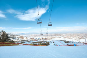
Palandoken Mountain in Erzurum, Turkey

 Best Travel Agencies